-

Microsoft's Terraserver: The first ever publicly available interactive satellite map (Source: bit.ly/1Ms9hGG) -
See trains and metros in Berlin arriving in real time (Source: http://bit.ly/1j1UYMa) -
Create amazing cartography with MapBox Studio (Source: bit.ly/1R8a1GD) -
what3words: Addressing the world in a different way (Source: map.what3words.com)


Our Top 5: From a Public Transport Live Map to a Search Engine for Genealogy
This week we’d like to show some great new tools that are all about maps as well as fun facts that might just surprise you. Have you ever tried to find a place without an address? Or live tracked a train on a map? Simply click, to find out more.
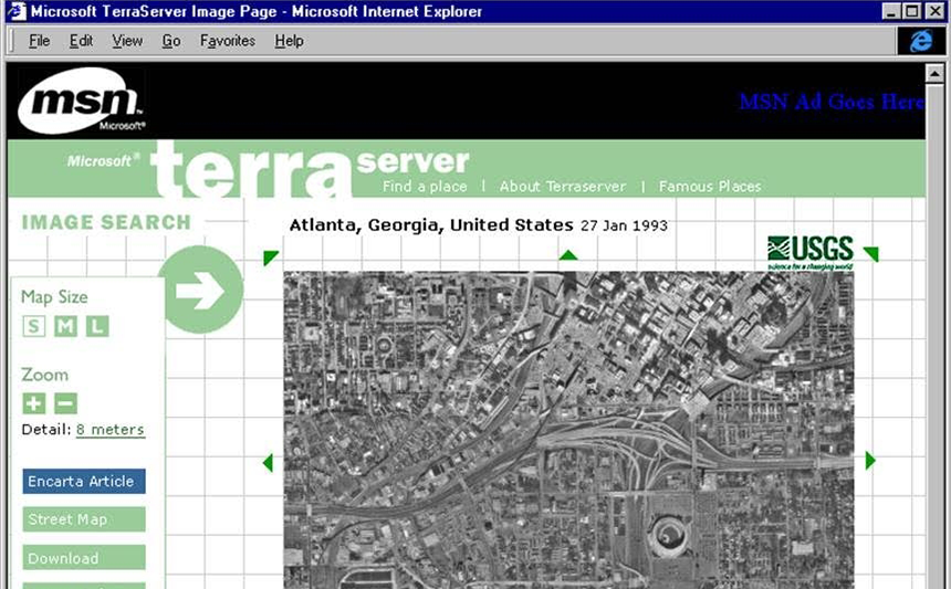
1. Microsoft’s Earth View
Google Earth became a fixed component in our day to day life. We use it to check out our next holiday destination, to plan a road trip or simply to see parts of the world that are unreachable for us. Now imagine the inventor of this amazing tool being Microsoft instead of Google. Here you can read everything about Terraserver, Microsoft’s version of Google Earth from the 90ies and the reasons for its lack of success.
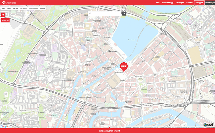
2. Addressing the world in a different way
Always finding the right spot of an appointment without a specific address can be quite exhausting. We all know that problem: Finding the right exit at a metro stop or the entrance of a friend’s house that is hidden in the courtyard. What3words is an innovative plugin that maps the world by dividing it in 3x3m. Each tile is appointed with 3 words, allowing everyone to specify a place down to 3 meters. Use this map via webservice or download the free Android and iOS Application.
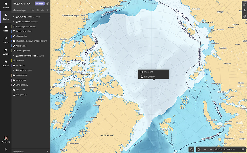
3. Mapbox is introducing: Mapbox Studio
Mapbox Studio allows to create a map in your own styles, making it an easy tool for customized maps. The user has the possibility to load up their own SVGs to use as patterns and icons, the styling of the map is layer based and simplifies the process of coping with different types of roads, labels and features. 369 fonts are available as well as the possibility to upload your own. Click here and learn more about all the features.
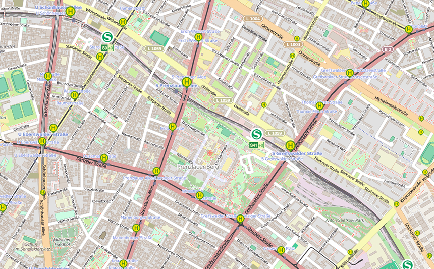
4. Local transportation live map
Have you ever taken an involuntary morning run to the metro stop only hoping that you are still going to make it? The VBB (Berlin’s public transportation system) launched a beta version of their public transport live map. This map enables you to follow the position of the local transport trains giving you a pretty exact estimate of their arrival at each stop. See the trains moving on the map!
5. Search your past
Forebears is a fun tool to for genealogy – and our last link of the week. This online search database shows last names by country including the incidence and frequency. Additionally the website gives you an estimate of a total number of people bearing that exact name. Take a look and search through church records and newspaper articles to find out more about your ancestors.