
Understanding climate change through storytelling
ESA's Climate Change Initiative aims to provide a broad public with information on climate change and raise awareness of the drastic changes. Above all, the topic is to be anchored even more firmly in education. The Climate from Space platform has been created for this purpose. On behalf of ESA, we have prepared the enormous quantities of satellite data and presented them in an appealing and easily understandable way.
Making climate changes visible
Heat waves, droughts and tropical storms: Climate models help to show how climate change is changing the world. Satellites are a central key element in capturing our climate system to the greatest extent possible. And this is exactly what the European Space Agency (ESA) does. As part of its Climate Change Initiative, ESA has set itself the goal of providing a broad public with information on climate change and raising awareness. In particular, the topic is to be anchored in school education and higher education. The Climate from Space platform has been created for this purpose.


It was developed from a database that could be used by scientists. Information could be created using tables and own calculations. However, the platform should also be usable for non-scientists. That's why we were commissioned to prepare the ESA satellite images in such a way that they are easily accessible to everyone - and tell a story.
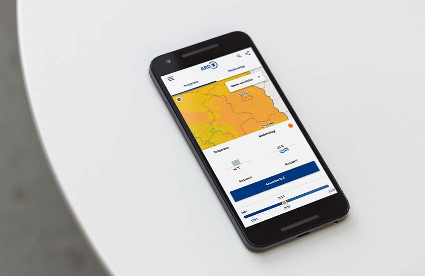
Exploring the climate on your own
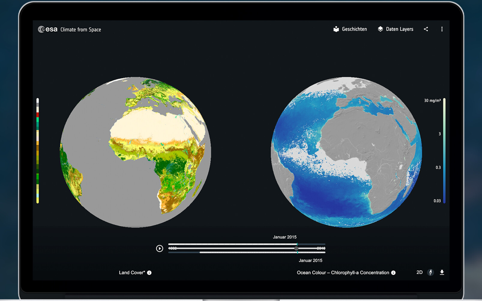
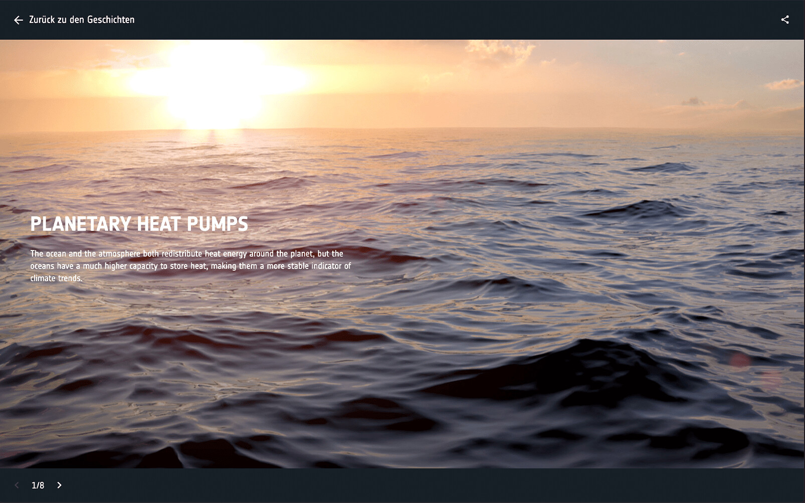
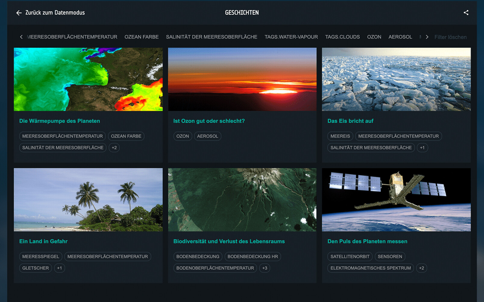
At the center of the Climate from Space platform is an interactive globe. Users can use it to navigate to the most important climate issues: Is ozone good or bad? What happens when the polar ice breaks? The stories answer these questions, with catchy examples, plenty of background information and supplemented by photos, videos and animations. The individual phenomena can be explored using the interactive globe: Deforestation can be linked to the construction of cities, and the disappearance of the ice is visible via a timeline. In addition, variables can be compared with each other, making much more complex relationships visible that are not obvious at first glance.
Science for school – and for all of us
The application is not completely new. Through us it has become accessible to the general public as a web application. Climate from Space will also find its place in school lessons in particular. Where data used to have to be downloaded and elaborately processed, anyone can now explore the climate and understand its interrelationships. Through the animation of the globe and the stories, Climate from Space is an intuitive learning platform that appeals to users with a wide range of prior knowledge.
Technical details:
The tool is open source and the source code is available on GitHub.
Our team was responsible for consulting, technical conception, data preparation in the Google Cloud, development and design.
Climate from Space