How are BigQuery, Data Clean Rooms, and 300M POIs transforming location intelligence? Our Google Maps expert Philipp Lauser answers the most critical questions about Google’s Places dataset for strategic data analytics.
As CEO & Founder, Alisa Türck has 20 years of experience in managing digital projects for companies. In this interview, she talks about the challenges of implementing change processes and the data needed for greater sustainability in companies.
With an Urban Dynamic Map, the EDDY (European Digital Dynamic Mapping) research project aims to create a central platform for data exchange and situation assessment for self-driving cars. As one of the project partners, we provide, process and visualize dynamic traffic data and show you the first prototypes of our traffic twins.
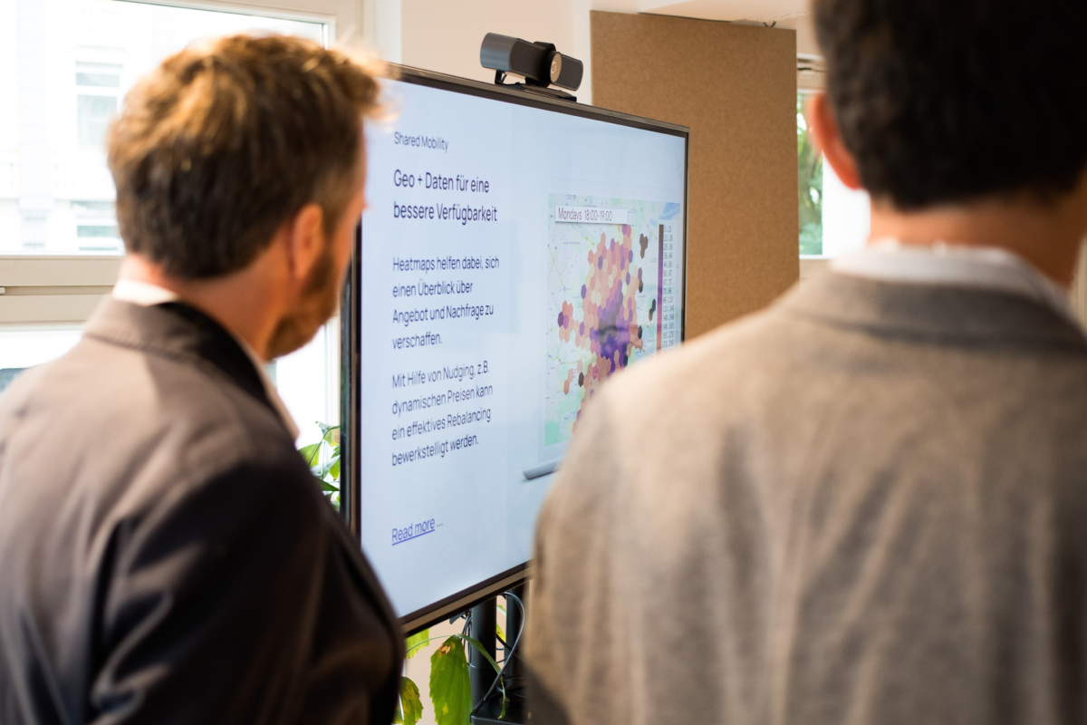
Sharing providers need an overview of their fleets in order to be able to react to changes in real time. We have supported sharing providers with data solutions to make their business models fit for the future.
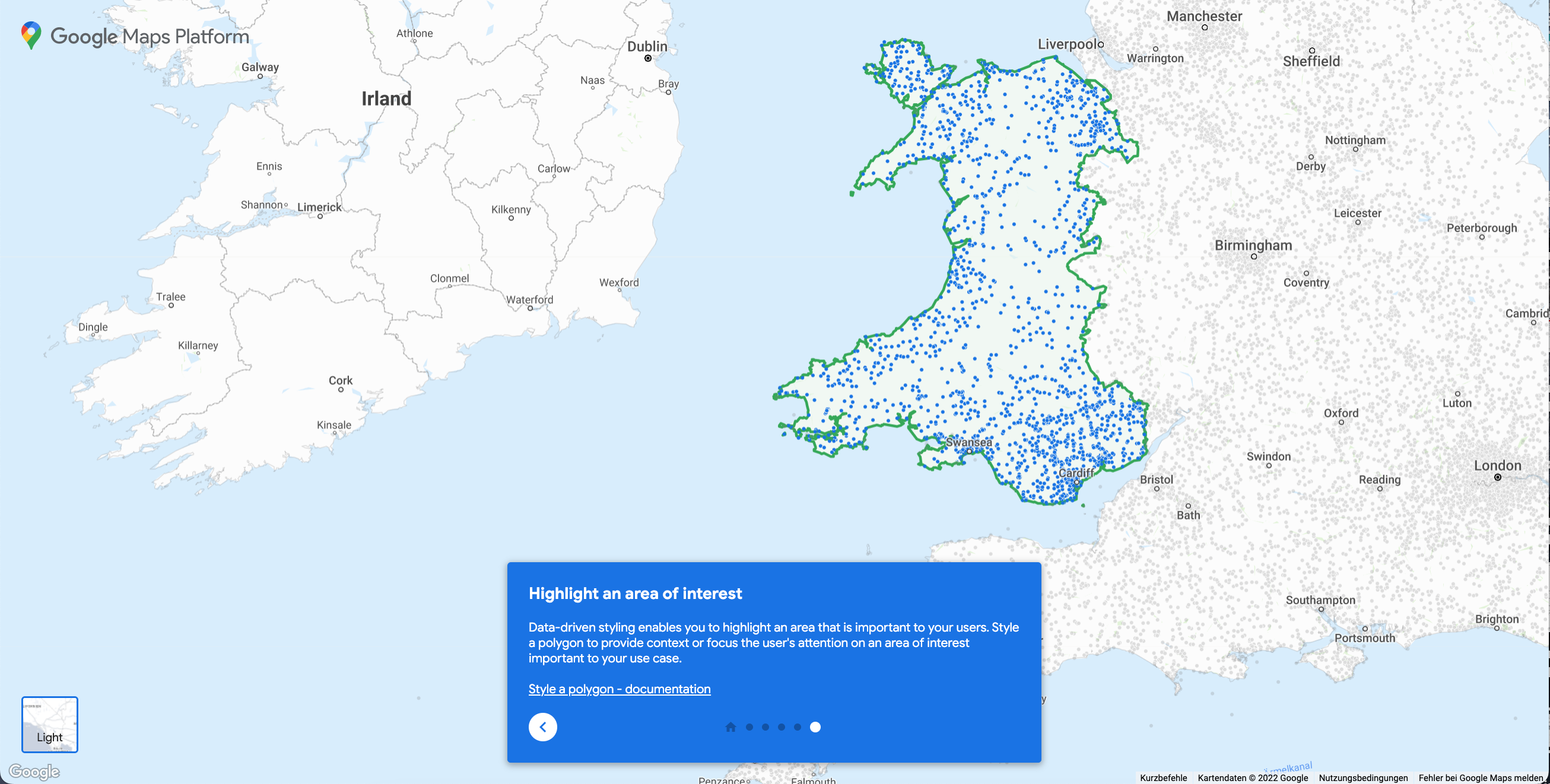
The new Data-driven styling feature from Google Maps Platform provides some long awaited features. We built a demo for Google to showcase the new functions and present the innovations and potential use cases in this article.
Location planning for fire and rescue stations is a lengthy process that requires costly reachability analysis by engineering firms. We developed an analysis tool for the Dusseldorf fire brigade that calculates these coverage analyzes in seconds.
From devastating forest fires to accidents: The analysis and visualization of movement data on interactive maps can save lives. In the third part of our Smart Cities series, we show the potential of location-based information for disaster management.
The available space in large cities is scarce. Many road users compete for little free space. The intelligent use of geodata offers a lot of potential here. We will show you exactly what this potential is based on selected use cases.
When it comes to actively designing living space and improving quality of life in cities, there are no limits to data-based applications. These application examples show how geodata can enhance the quality of life in cities.
Typos in the address, a missing or incorrect name: Inaccurate address data can have expensive consequences. Address data validation using Google Maps offers a fast and cost-effective way to correct address data and display it correctly on the map.
In this interview, Simon Bühl (CEO BrandUp Factory) reveals to us how retailers should position themselves between local stores and e-commerce, and how data-driven marketing and hybrid sales models will determine the future of retail.
Learn more
Newsletter
Get monthly updates on current projects, exciting use cases, and the latest geospatial data news delivered to your inbox.