Ubilabs is CARTO’s new and exclusive partner for the DACH region. The partnership combines our long-standing expertise in working with geospatial data and user-centric solutions with a powerful Agentic GIS platform for cloud-native, AI-ready spatial analysis.
Typos in the address, a missing or incorrect name: Inaccurate address data can have expensive consequences. Address data validation using Google Maps offers a fast and cost-effective way to correct address data and display it correctly on the map.
In this interview, Simon Bühl (CEO BrandUp Factory) reveals to us how retailers should position themselves between local stores and e-commerce, and how data-driven marketing and hybrid sales models will determine the future of retail.
On May 31, 2022, Google will change its support model. The new "Customer Care Portfolio" replaces the previous role-based billing models. Sorreen Schroll, our expert for Google Cloud, explains what Google Cloud users now have to do.
Although semantic data modeling is excellently covered by Looker, we reached limits in data visualization for individual requirements. We therefore tested additional extensions for data visualization in an application example.
Homeless people are often isolated and have a difficult time participating in everyday activities like food shopping or going for a coffee. That's why the aid organization KARUNA commissioned us to develop a wallet feature with its own digital currency.
As part of its future strategy 2030, the Charité presents its visionary plans to the public on a new project website. For this, we developed interactive 3D visualizations which show the animated construction plans.
Love what you do - do what you love! During the #30daymapchallenge in November, our colleagues showed that their enthusiasm for maps goes far beyond customer projects!
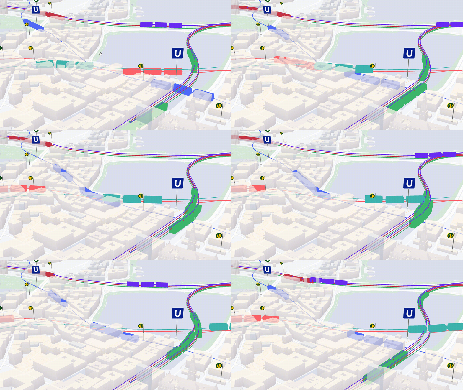
The use of digital twins increases steadily. We built a demo that combines a 3D image of the city of Hamburg with the public transport network. We show how digital twins can be implemented technically. And what benefits they have in the context of smart cities.
Multi-cloud strategies bring challenges for integrating and orchestrating data - and for governance. A recent remedy is BigQuery Omni, a multi-cloud analytics service that enables data professionals to break down data silos and analyze across different clouds securely and cost-effectively.
Learn more
Newsletter
Get monthly updates on current projects, exciting use cases, and the latest geospatial data news delivered to your inbox.