Real-Time Situational Awareness for the Düsseldorf Fire Department: Faster Decisions, Proactive Actions
Clear Overview and Prioritization of Measures Through Current Data
Every day, the Düsseldorf Fire Brigade faces the task of forming a clear situational picture from a large amount of information. Water levels, precipitation radar, traffic reports, or construction sites: all of these data points must be considered when it comes to reacting quickly and prioritizing measures. Together with the Düsseldorf Fire Brigade, Ubilabs has developed a real-time situational awareness system that combines these data sources, enabling faster situation assessment, targeted decisions, and timely hazard prevention.
With the real-time situational awareness system Sentinel.D, the Düsseldorf Fire Brigade now has a central tool that bundles and clearly visualizes important data and critical information. First responders can see at a glance which factors are currently relevant without having to switch between different platforms and sources. This saves valuable time and facilitates proactive operational planning. This makes Sentinel.D a unique pilot project in Europe and a model for other fire departments and civil defense organizations.
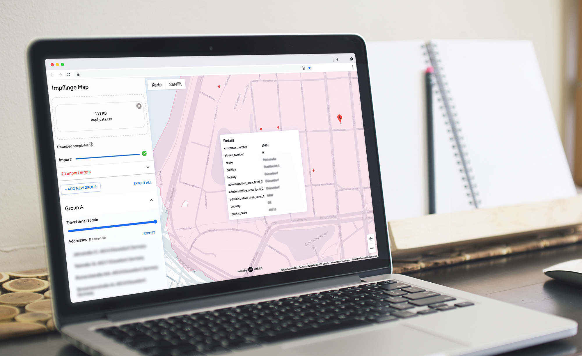
The collaboration between Ubilabs and the Düsseldorf Fire Brigade has already resulted in several successful projects. In 2020, a solution for vaccination route planning was developed, followed by an application for site analysis in 2022. These projects have shown how our experience in map-based and user-friendly data visualization can significantly simplify the daily work of first responders.


All Key Data in One Situational Awareness System
Previously, Düsseldorf Fire Brigade personnel had to manually gather a lot of information. Weather warnings, traffic reports, and water levels came from different sources, which made the process slow and prone to errors. Today, the real-time situational awareness system bundles all this data on a single map and makes it immediately usable. This includes, for example:
- Weather data: Early warnings for heavy rain or storms make it possible to mobilize resources in a timely manner.
- Water body data: Water levels of rivers and tributaries indicate flood risks early on.
- Traffic data: Information on road closures, construction sites, or traffic jams helps in planning operational routes. Air traffic data supports the planning of operations at Düsseldorf Airport.
- Seasonal hazards: Forest fire or grassland fire indices combined with wind data become valuable decision-making aids.
- Environmental information: Measurements of air quality or radioactivity reveal further risks.
"The intuitive user interface and the quick overview of key metrics allow us to assess the situation in our city area faster, identify critical situations, and decide on necessary measures as quickly as possible."
The Situational Awareness System in Daily Operations
At the heart of the real-time situational awareness system is an interactive map of the city of Düsseldorf and its surroundings. A sidebar allows first responders to select which information they want to display. Each data source—for example, a weather station or a water level gauge—is shown with its key figures and the time of the last update. Traffic obstructions and construction sites also appear as symbols or colored markings on the affected streets. This makes it easier to recognize connections and plan operations in a targeted manner.


The situational awareness system is optimized for large screens and is displayed in a large format at the control center. At the same time, first responders can also use it at their workstations or on mobile devices, such as in command vehicles. To ensure everyone immediately sees if there is a threat, the system is equipped with a warning design. Two warning levels—orange and red—make potential critical situations clearly visible. Corresponding information boxes are highlighted in color and show the number of current warnings.
Diverse Data, One Clear Picture
A central challenge of the project was consolidating a large number of different data sources and formats. We were able to seamlessly integrate information like weather and traffic data via existing interfaces. Other information, such as data from environmental sensors or measuring stations, was only available in the form of CSV tables on external websites. This data is now also parsed, automatically read, and integrated into the situational awareness system in real time.


Additionally, we created a way to directly integrate data from Düsseldorf's own measuring stations, such as water levels or radioactivity values, into the platform. This data is fed directly into the application via the Fire Brigade's servers, making the situational awareness system even more precise.
To guarantee the user-friendliness of the application, we placed great emphasis on clear visualization. Every information window is movable, can be freely placed on the map, and is clearly linked to the respective measuring station. This ensures the situational awareness system remains clear and easy to use even with many data sources, without the windows overlapping.


Detect Threats Quickly, Act in Time
With the real-time situational awareness system Sentinel.D, the Düsseldorf Fire Brigade now has a tool that turns many individual data sources into a clear and usable overview. This allows threats to be detected early, decisions to be made faster, and measures to be initiated in a timely manner. The project demonstrates how digital solutions can tangibly improve the daily work of first responders and can serve as a model for other fire brigades and civil defense organizations.
Are you also interested in a real-time situational awareness system?
As your partner for geospatial data visualization and analytics, we support you in consolidating heterogeneous data sources such as weather, traffic, and water levels into one intuitive map application. Our experts guide you through every step, from the initial requirements analysis to the implementation of a tailor-made solution for your control center or crisis management team.
Contact our experts