The Google Maps API can now be used to create 3D maps. This was one of the most important news at the Google I/O developer conference. On behalf of Google, we tested the APIs in advance and developed two demo applications. In this interview, Martin Schuhfuss, Creative Developer at Ubilabs, talks about his collaboration with Google and how the new features could soon enrich the communication of numerous industries such as tourism, car sharing, media and science.
The developer community has been eagerly awaiting the two 3D features. Was it worth the wait?
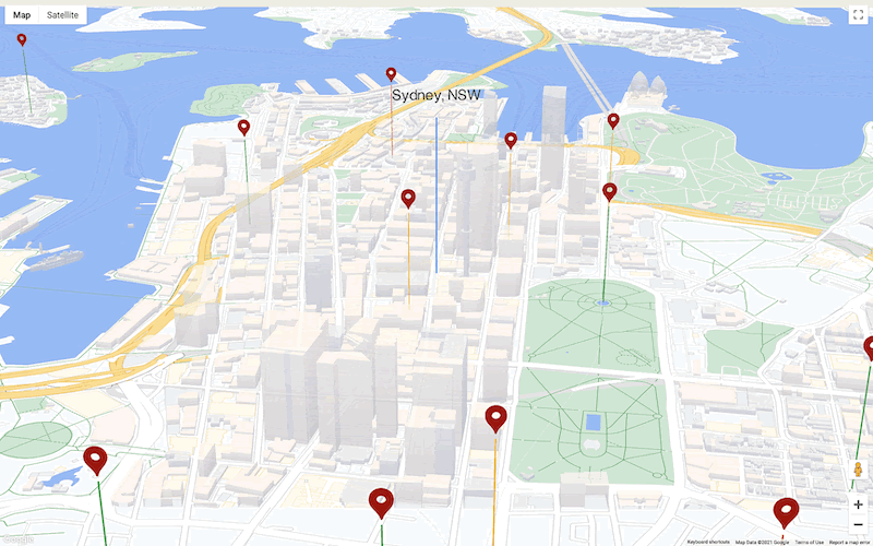
Martin Schuhfuss: Absolutely. Especially the Tilt and Rotation feature: Before, there was only a "north-up" plan view. Google currently offers the most detailed building models in 3D maps. This creates more context and proximity, and users can orient themselves much better due to the high recognition value. In addition, the new WebGL Overlay View feature allows three-dimensional objects to be rendered directly into the base map for the first time. This means that the objects not only appear on and above the map, but are part of it, including perspective and overlays.
End-user products such as Google Maps for smartphones and browsers have been using these functions for a long time. What is the groundbreaking aspect of your project?
MS: What's new about it is that external content can also be integrated into Google's 3D map when it is used on external websites. For example, small cars or info bars disappear behind buildings thanks to WebGL Overlay View. This creates a very realistic 3D world. This could be interesting for various industries, because they can now use the functions for their own communication. However, developing such an integration was technically very demanding.
What was the technical challenge?
MS: Basically, two program parts have to work together perfectly here, which are developed completely independently of each other. On the one hand, this is the renderer of the Google Maps API, which takes care of the map, the 3D buildings and the labels, and on the other hand, it is the content that is added by the users. Both parts need equal and complete access to the interface - the so-called WebGL context. In order not to get in each other's way, both parts of the program have to follow certain rules.
The first part of our project consisted of extensively testing the integration of the two parts and uncovering problems. This then led to rules for the two to work together.
For whom are the 3D maps demos particularly relevant?
MS: We had both the decision-makers and the developer community in mind and developed a demo application for each. For the first target group, we created sample screens of a fictitious travel app to show how the new features could be used in this context. This included the display of a flight connection and local transportation, in this case the cab ride to the hotel. We also highlighted individual buildings in 3D view, displayed so-called POIs, or points of interest, such as restaurants and landmarks, and finally integrated routing information.
The developers, on the other hand, are more interested in finding out what can be gotten out of the individual features and what the code behind them looks like. Accordingly, we have presented the new functionalities with the Web GL feature tour in more detail and explained them with a reduced documentation
What other applications are you envisioning?
MS: Our examples initially serve as inspiration and are intended to show how broadly the new type of 3D rendering can be used. Further use cases can then be developed on this basis. Areas such as logistics, urban planning, media and science are conceivable. Especially in data visualization, the third dimension opens up numerous new possibilities.
What was the feedback like?
MS: The new features have been very well received - working with Google, there has been consistently positive feedback from Google about our work. The developers were very enthusiastic about the fact that they can now integrate their own content into the Google 3D map (laughs). After all, many have been waiting for this.
Ubilabs has been working with Google for a long time. What particularly appeals to you about the Google Maps Platform?
MS: Compared to other map providers, the quality of the data is simply extremely good. The buildings look much more realistic. In addition, as I said, the designs can be customized very individually.
What do you appreciate about working with Google?
MS: As always, it was a great cooperation, both with the developer relations team and with the engineering team, i.e. the programmers. What I particularly appreciate about Google is that they put themselves in the developers' shoes and understand that things take time. We were able to test the functions extensively and try out applications. In this way, we were able to achieve our goal of presenting the new functionalities at Google I/O in May in a fairly relaxed manner.
What are your next steps?
MS: Together with Google, we are now working on providing a simplified API for these new functions based on the work on our demos. Through our project, we can already offer some viable solutions that can be further developed. In addition, we would of course like to use the new features in our projects as soon as possible.


Martin Schuhfuss
As a creative developer, Martin Schuhfuss works at the interface between aesthetics and code. For several years he has been intensively involved in 3D graphics programming and use of hardware acceleration for data processing in web applications. Since 2015 Martin continues to enrich Ubilabs with his ideas. Before that, he programmed a wide variety of websites for an online agency in Hamburg for ten years and was self-employed for two years. Martin holds a bachelor's degree in Computer Engineering from HAW Hamburg.


