How are BigQuery, Data Clean Rooms, and 300M POIs transforming location intelligence? Our Google Maps expert Philipp Lauser answers the most critical questions about Google’s Places dataset for strategic data analytics.
Google I/O 2017 – that’s three days of technical talks, announcements, and hands-on workshops, but also an array of entertaining side events. Our frontend developer, Malte Modrow , was thrilled to attend the developer festival in …
A creative experiment with Google Earth’s satellite images won this year’s Webby Award in the Netart category. Land Lines is a project by artist Zach Lieberman and the Google Data Arts Team with support by Ubilabs. We …
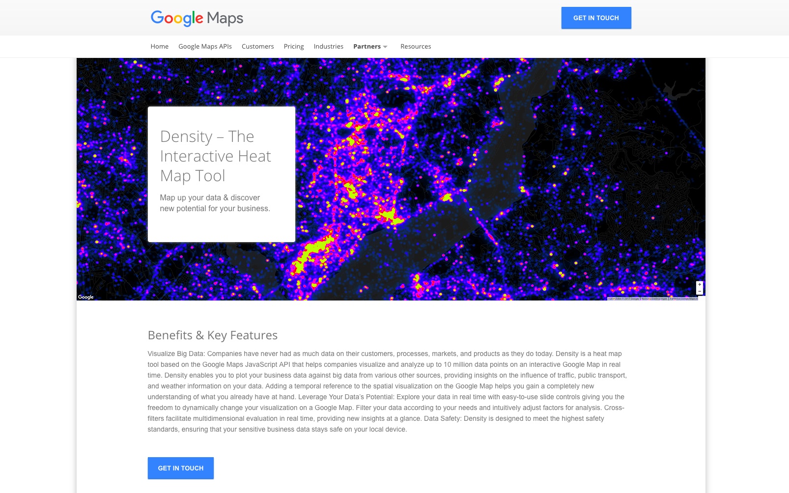
On May 2nd Google Maps launched its latest information platform for business customers: the Google Maps Partners Solutions Directory. It features industry-tailored solutions developed by Google Maps Premier Partners. Ubilabs presents its geo marketing …
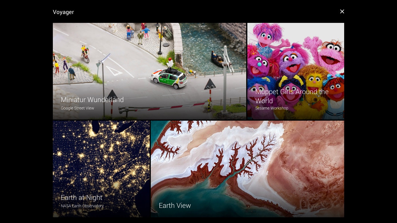
After two years in the making, it’s finally here: the new Google Earth. Maintaining the magic of the classic app, Google has revamped Earth visually and functionally. Ubilabs assisted bringing Voyager into existence, Earth’s exciting new …
It’s already been 10 years since the founding of Ubilabs – time for a birthday party! On March 24th, 2017 Ubilabs invited friends, customers, and partners to celebrate this special occasion at Hamburg’s Bunker. 10 years can change a lot, but …
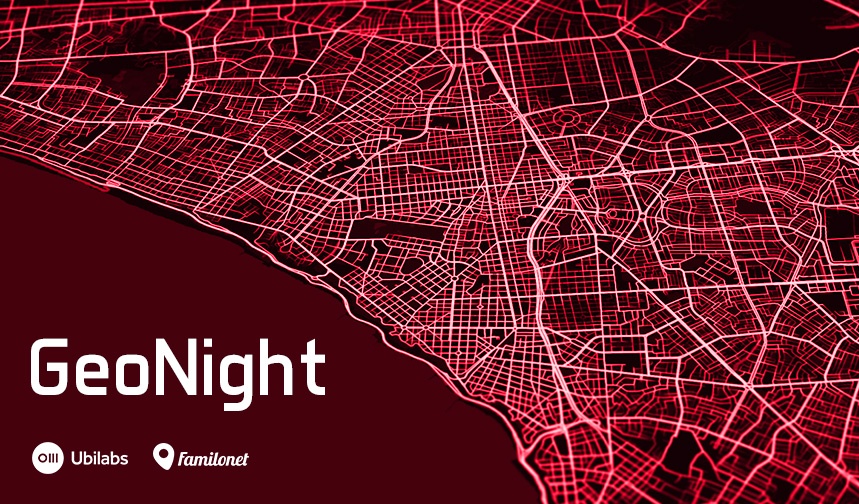
Be prepared for a futuristic night: On March 28, guest speakers from the European Space Agency (ESA) and Google will shed light on the future of space, maps, and geo technology . The event will take place in Mindspace Hamburg and is organized by Ubilabs …
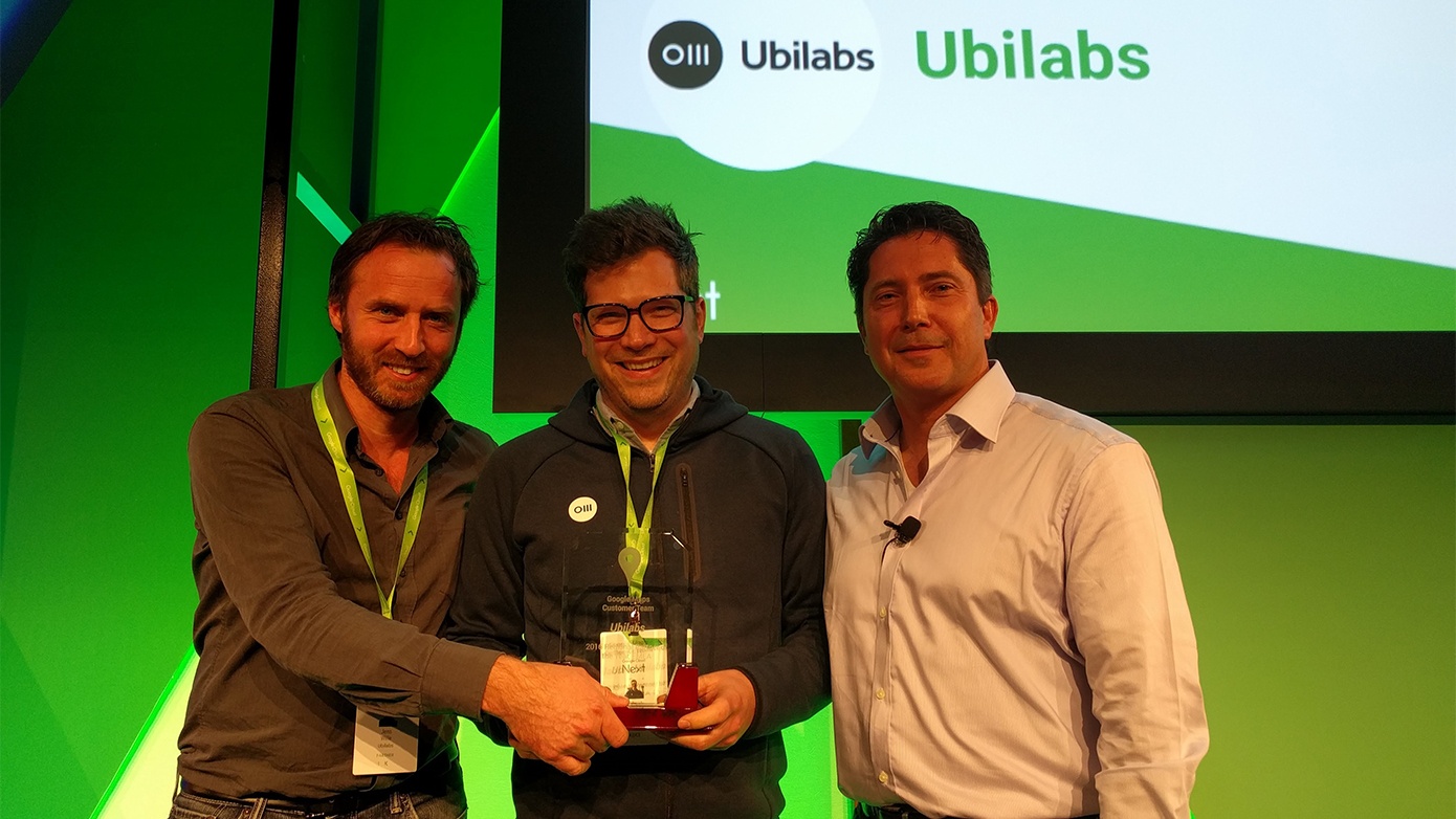
Above and beyond for our customers – that’s how Ubilabs realizes their geo technology projects and supports their customers. At this year’s Next’17 in San Francisco, Google Cloud not only had more than 100 announcements, …
Ubilabs has partnered with Danish IT company MapsPeople to bring indoor wayfinding to customers across Germany. MapsPeople have created a market leading indoor mapping platform based on Google Maps called MapsIndoors. The strategic partnership …
In the developers community Robert is known not only as a co-organizer of the JSUnconf, but also for his tips and tricks around the design of interactive maps with Google Maps or Mapbox. You can find out more about his highlights …
Learn more
Newsletter
Get monthly updates on current projects, exciting use cases, and the latest geospatial data news delivered to your inbox.