How are BigQuery, Data Clean Rooms, and 300M POIs transforming location intelligence? Our Google Maps expert Philipp Lauser answers the most critical questions about Google’s Places dataset for strategic data analytics.
Who are the people at Ubilabs? With a team of 40 employees, it is clear that diverse characters meet. Everyone brings their particular skills, strengths, and preferences - and also special passions, such as Annika Bock, who is drawn to the Waterkant almost …
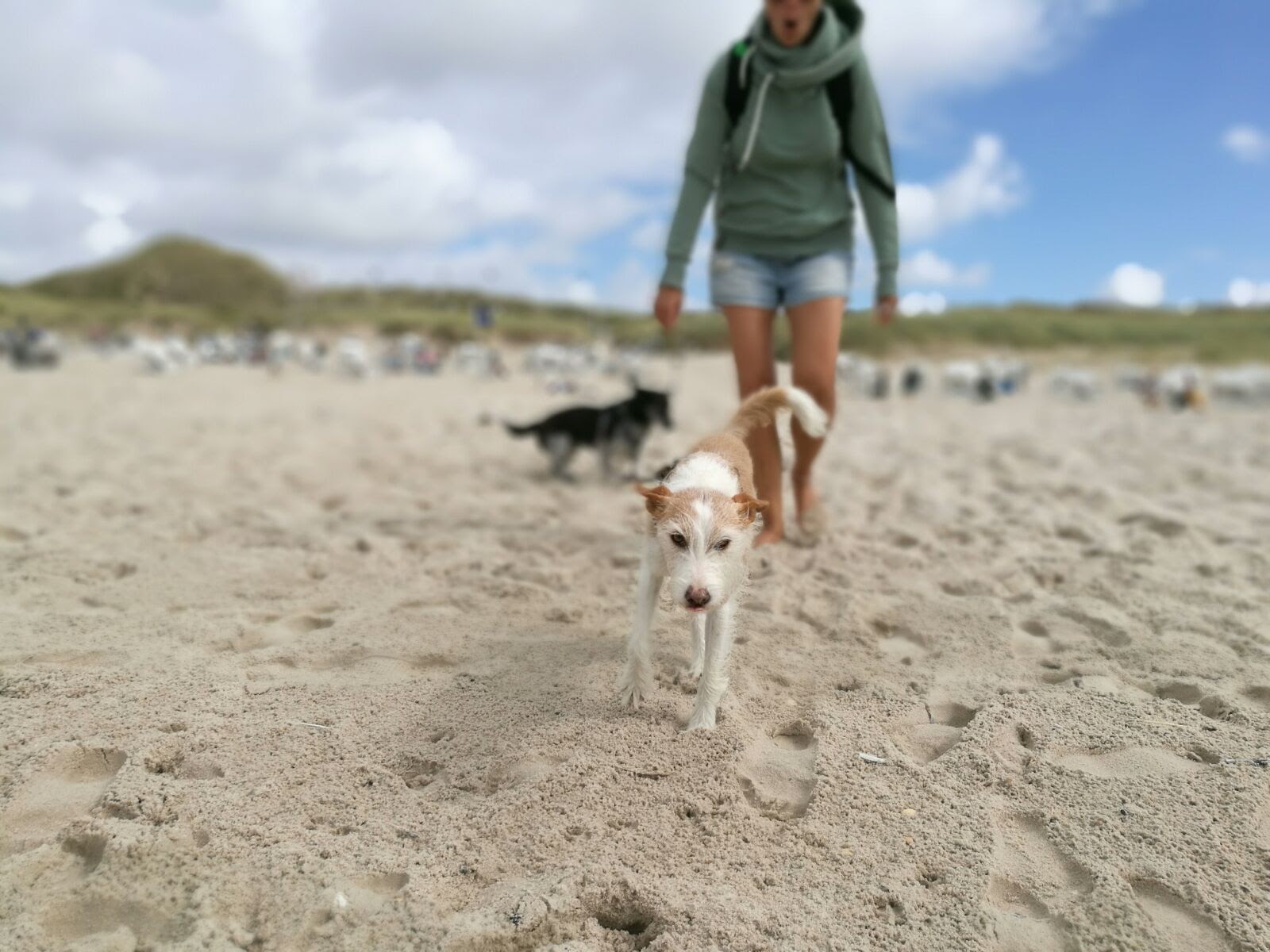
For our customers who work with web-mapping technologies like Google Maps, Mapbox or CARTO, we offer comprehensive consulting. One of our specialists is Philipp Lauser, who is interested in geo-technologies, creates demos and supports our customers in the use …
We look back on a successful and exciting year. We are very grateful for the fantastic cooperation with our customers, the opportunity to implement exciting new projects – and for another year of growth with a great team. Thanks to all our partners, …
Malte has been an integral part of our team for two years. As a front-end developer, he ensures functioning and user-friendly websites. His counterbalance to programming? Billiard, 300 kilometer bike races and music. What do you do …
Mapbox GL JS is a JavaScript library that uses WebGL to render interactive maps from vector tiles and Mapbox styles. Our front-end developer Robert Katzki will show you how you create a map with 3D functionality and add 3D data visualization to it. …
Satellite images provide a wealth of visual data from which we can visualize in interesting ways. Land Lines is an experiment that lets you explore real satellite imagery through commonly used mobile gestures–drawing and dragging. “Draw” finds …
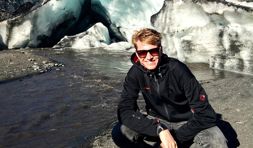
Around 40 percent of our team are developers. Their skills are as diverse as our projects. Our colleague Franz Neubert for example currently focuses on the newest features at Mapbox. To keep concentrated, he loves to turn loud music on (via …
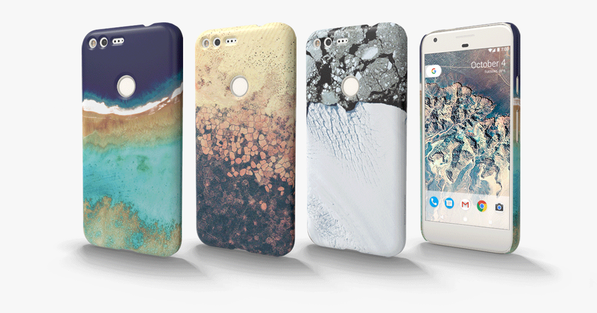
Fans of Google Earth View can look forward to hold the world's most beautiful landscapes in their hands. Google has launched Google Earth Live Cases with the most beautiful images from Google Earth View – from the ice formations of Antarctica to the …
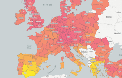
INDRIX – The Inclusive Disaster Resilience Index – will combine the knowledge of NGOs, the expertise of social services and the dynamic reaction of European citizens on natural disasters. Ubilabs supports the project by visualizing these data on an …
On 14-15th of October, 2016, the 3rd annual GDG DevFest Hamburg took place at the marvellous Mindspace Hamburg. Organized by the Google Developers Group Hamburg together with Women Techmakers, the event was a blast. Ubilabs sponsored the Friday Night party. …
Learn more
Newsletter
Get monthly updates on current projects, exciting use cases, and the latest geospatial data news delivered to your inbox.