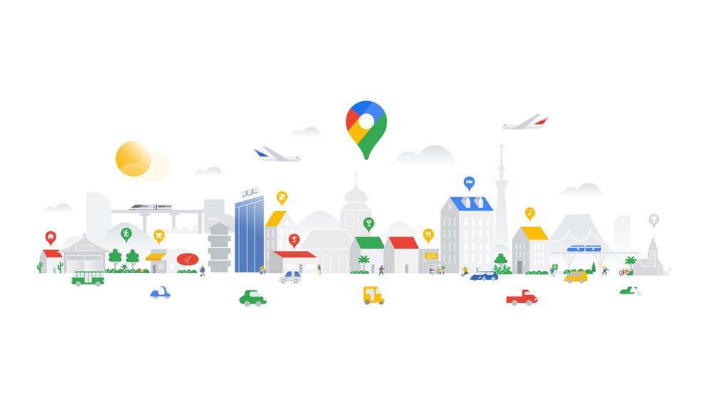
The available space in large cities is scarce. Many road users compete for little free space. The intelligent use of geodata offers a lot of potential here. We will show you exactly what this potential is based on selected use cases.
When it comes to actively designing living space and improving quality of life in cities, there are no limits to data-based applications. These application examples show how geodata can enhance the quality of life in cities.
Typos in the address, a missing or incorrect name: Inaccurate address data can have expensive consequences. Address data validation using Google Maps offers a fast and cost-effective way to correct address data and display it correctly on the map.
In this interview, Simon Bühl (CEO BrandUp Factory) reveals to us how retailers should position themselves between local stores and e-commerce, and how data-driven marketing and hybrid sales models will determine the future of retail.
On May 31, 2022, Google will change its support model. The new "Customer Care Portfolio" replaces the previous role-based billing models. Sorreen Schroll, our expert for Google Cloud, explains what Google Cloud users now have to do.
Although semantic data modeling is excellently covered by Looker, we reached limits in data visualization for individual requirements. We therefore tested additional extensions for data visualization in an application example.
Love what you do - do what you love! During the #30daymapchallenge in November, our colleagues showed that their enthusiasm for maps goes far beyond customer projects!
Multi-cloud strategies bring challenges for integrating and orchestrating data - and for governance. A recent remedy is BigQuery Omni, a multi-cloud analytics service that enables data professionals to break down data silos and analyze across different clouds securely and cost-effectively.
Customers today expect comprehensive service, personalized user experiences, and seamless operations. Companies need to work more efficiently to generate profits in competitive markets. A key success factor here is the use of location data. This webinar provides an introduction to Google Maps Platform - with industry-specific best practices and concrete setup instructions.
The ITS World Congress for Smart Mobility in Hamburg paved the way for many interesting projects in the city. Where do things go from here for the smart city?
Learn more
Newsletter
Get monthly updates on current projects, exciting use cases, and the latest geospatial data news delivered to your inbox.